
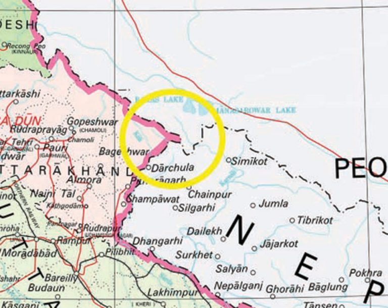

The Indian government yesterday reiterated its position regarding the Nepal-India border dispute in the Kalapani region.
Spokesperson for India’s Ministry of External Affairs Raveesh Kumar said that the Indian map accurately depicted the sovereign territory of India.
“The new map has in no manner revised our boundary with Nepal. As far as boundary question is concerned, we have made our position very clear. I can only reiterate that our map accurately depicts the sovereign territory of India,” Kumar said in a televised weekly press briefing in New Delhi.
He added, “The boundary delineation exercise with Nepal is ongoing under the existing mechanism. We reiterate our commitment to resolve outstanding boundary issue through dialogue in the spirit of close and friendly bilateral relations between the two countries.”