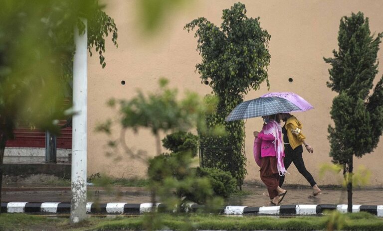
The low-pressure system developed in the Bay of Bengal has turned into a severe cyclonic storm named ‘Yaas’ from Tuesday in India, whose slight effects were also observed in eastern Nepal. As it moves north-northwest, it is expected to be more powerful.
According to the Department of Hydrology and Meteorology, it is expected to turn into a very strong cyclone by Wednesday, and its effect was already seen in eastern Nepal.
Meteorologist Samir Shrestha informed that light rain occurred in Morang, Sunsari, Jhapa and Ilam in Province 1 on Tuesday.
According to him, it is gradually moving to the west. “But so far, its pace has remained slow. The cyclone has been moving towards the west at a speed of 10-12 kilometres per hour,” said meteorologist Shrestha. “Due to this speed, it takes some time to reach Kathmandu and from here to the west. However, the effect lasts until Thursday and Friday. ”
Meanwhile, there is a possibility of light to moderate snow/rain in Bagmati Province and some parts of the high mountainous and hilly areas of Province 1 with generally to completely cloudy situation in many parts of the country from Tuesday afternoon, he said.
The department has urged the mountaineers to be vigilant till Friday, according to weather forecast for a few days from Tuesday as there is a possibility of strong winds in the high mountainous areas.
According to a special bulletin issued by the Meteorological Forecasting Division on Tuesday, light to moderate rain is expected in many parts of the country from Wednesday. There is a possibility of heavy rain in Province 1, Province 2, Bagmati Province, Gandaki Province and some places in Lumbini Province.
Heavy rain is also expected in Karnali and some parts of the Sudurpaschim region on Thursday. Meteorologist Shrestha urged one and all to take necessary precaution as there is a possibility of thunder, lightning and hailstorms.
Source : THE RISING NEPAL,


